It should, perhaps, come as no surprise that the “city of canals” is being threatened by rising tides. It has been less than a year since Venice, Italy, experienced its highest level of flooding in half a century years, as two-thirds of the city was swamped in mid-November. Some areas saw as much as six feet of water, and only two months later in January, the city’s iconic canals were nearly dry and boats lay beached.
Acqua alta, or high water, refers to the flooding experienced when high tides from the Adriatic Sea inundates the Venetian Lagoon and forces water into the streets and squares. As sea levels rise due to climate change, these events have only become more common; as CNET points out, there were 34 floods above 43 inches between 2014 and 2018 and only 30 such comparable events between 1875 and 1951. It’s predicted that in 50 years, the dangerous flooding seen last November could occur at every high tide.
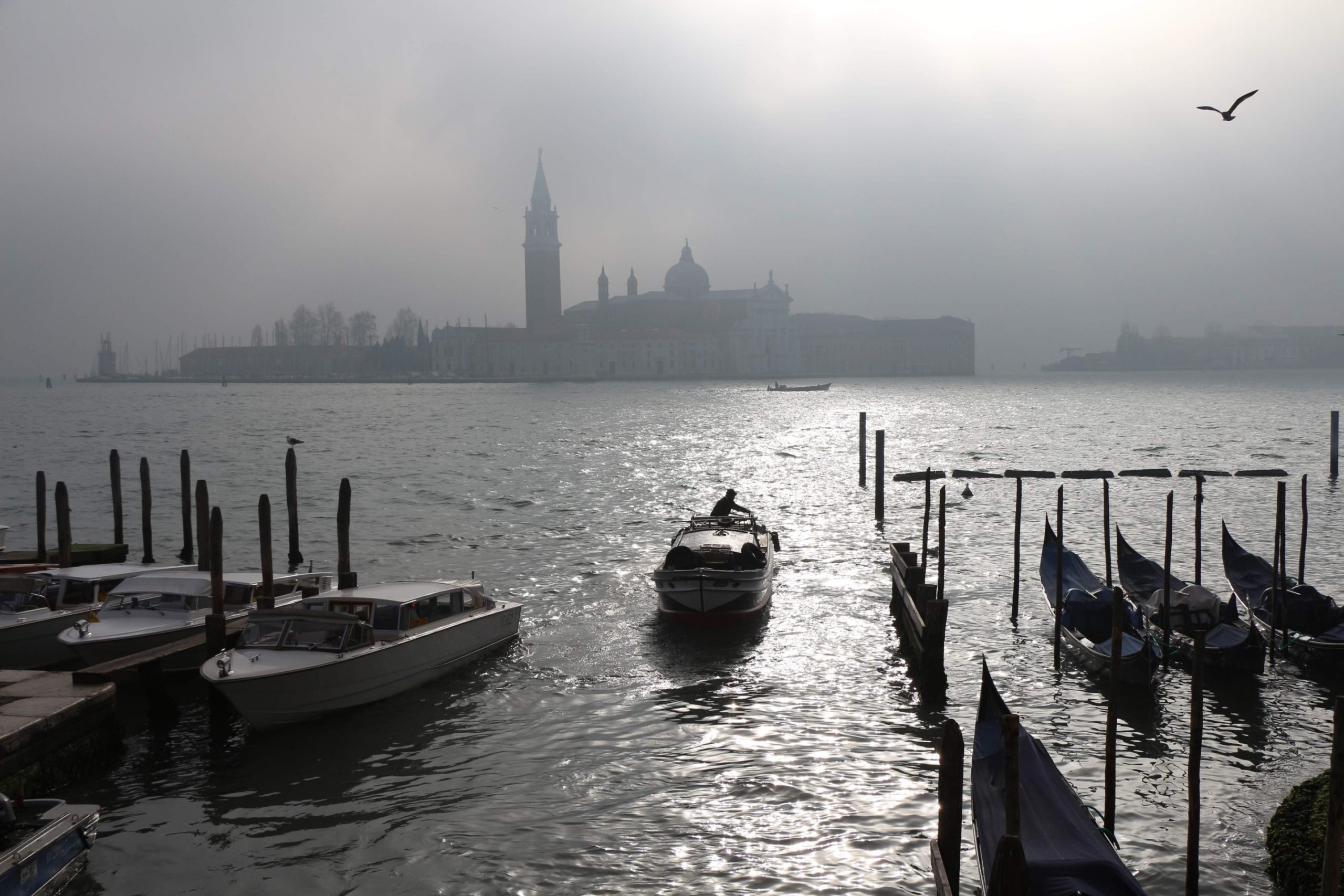
With the precarious future of the Italian city in mind, this summer researchers mapped the entirety of the island of San Giorgio to create a 3D repository of the site’s cultural artifacts. From July 6 through 17, a digital conservancy team from the Factum Foundation, along with the Fondazione Giorgio Cini, Ecole Polytechnique Fédérale de Lausanne (EPFL) and Iconem, cataloged the entire island through aerial and ground-based photogrammetry via drones and cameras and LiDAR, then combined the data into 3D models.
By capturing photos and point data from over 600 locations around the island, including inside of and around the San Giorgio Maggiore church, the island became the testbed for the ARCHiVe project, which aims to preserve Venice’s fragile history. Everything from the basilica bell tower to the religious objects on display were captured in detail, as well as ceiling details not legible from the ground. According to The Art Newspaper, scanning the basilica’s facade took half-an-hour, capturing the photogrammetry took three hours, and then merging the two to create a depth-model took several days.
November’s flooding spurred on the scanning project, according to the Factum Foundation’s website, though it’s uncertain how long mapping the entire city will take. Compounding the flooding issue is the Italian government’s complacency; the $6.6 billion MOSE project, which would see 73 sea gates deployed to cut off the lagoon from the Adriatic Sea, is expected to finish in 2021, ten years late. While closing the lagoon might work in the short term, raising the gates also prevents the city’s pollution from washing out to sea. If the gates are used too often, as is expected as acqua alta happen even more frequently, the pollution bottlenecked at the lagoon could kill off the entire ecosystem.
Top image: The San Giorgio Maggiore church on a foggy day (Vitalie Sitnic/Unsplash)
